El Niño expected to develop in coming months, bringing hotter and drier weather to eastern Australia
Australia is likely heading toward an El Niño this winter, with forecasters warning of hotter, drier conditions in the east. Officials say the event could be moderate to strong.
Intelligence analysis by GPT-5.4 Mini
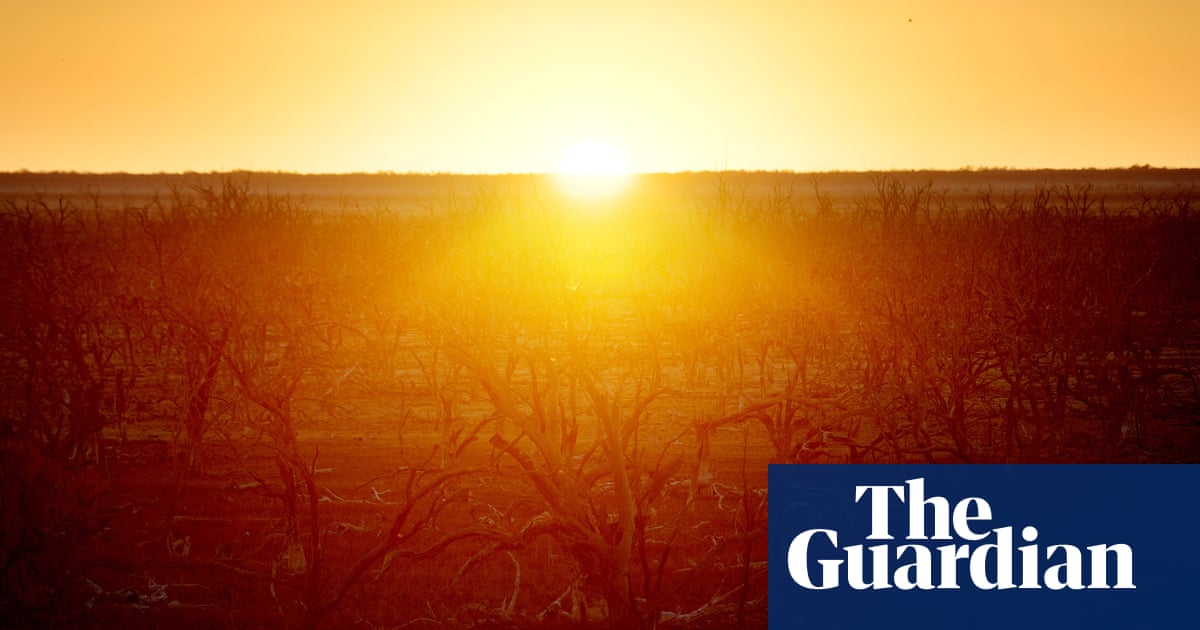
The Bureau of Meteorology and other agencies say the Pacific is moving toward El Niño, the climate pattern that often makes eastern Australia hotter and drier. Scientists caution that local impacts depend on other climate drivers too, but the warning is clear enough for planning now.
Weather experts think a big ocean pattern may soon flip and make eastern Australia hotter and drier, like turning down a hose while turning up a heater. It does not mean drought starts overnight, but it can make dry weather and fire danger more likely.
Analysis
What forecasters are seeing
The Bureau of Meteorology says model results are now lining up toward an El Niño forming during winter, with the first one since spring 2023 likely to develop in the coming months. The World Meteorological Organization has also warned there is a very high chance of an El Niño forming in the Pacific before November.
Why it matters for Australia
El Niño is the warm phase of the El Niño-Southern Oscillation, a major climate driver that changes ocean temperatures and atmospheric circulation. For Australia, it often means less moisture and a greater chance of hotter and drier weather, especially in the east. The article notes that nine of the 10 driest winter-spring periods on record in eastern Australia have happened during El Niño years.
What officials are cautioning
BoM climatologist Felicity Gamble said the pattern is not fully established yet because the atmosphere also needs to respond, not just the ocean. She also stressed that El Niño strength does not map neatly onto impact strength in Australia, because other patterns such as the Indian Ocean dipole and the southern annular mode also matter.
Former BoM climate prediction head Andrew Watkins argues that climate change is making the situation more dangerous by amplifying heat, drought and fire weather. The article’s central message is not that drought is guaranteed immediately, but that Australia should be ready for a higher-risk season if El Niño develops as expected.
Key points
- The Bureau of Meteorology says models point to an El Niño developing during winter.
- The World Meteorological Organization says there is a 90% chance of El Niño before November.
- Forecasters expect at least a moderate event, with a strong one still possible.
- El Niño often brings hotter, drier weather to eastern Australia and can raise drought and fire risk.
- Officials say local impacts will also depend on other climate patterns, not El Niño alone.
If the El Niño develops as forecast, the warning could give farmers, emergency planners and water managers time to prepare before the worst of winter and spring. Forecasters also say the strength of the event will not fully determine local impacts, so careful monitoring could help people respond to the actual conditions rather than the label alone.
The most direct downside is a higher chance of hotter, drier conditions in eastern Australia during the months when El Niño tends to matter most. The article also warns that climate change may intensify drought, heat and bushfire weather, making any El Niño-driven dry spell more severe.