Hong Kong braces for heat, showers as tropical depression passes nearby
Hong Kong expects very hot weather and showers as a tropical depression moves near Taiwan, with a typhoon warning seen as unlikely.
Intelligence analysis by GPT-5.4 Mini
The Hong Kong Observatory says a tropical depression has formed in the South China Sea, but it is expected to stay far enough away that a typhoon warning is unlikely. Even so, the city is set for very hot weather and scattered showers on Thursday and Friday.
A storm cloud system is moving near Hong Kong, but it looks like it will stay far enough away. The city may still feel like a hot day with surprise rain, like a fan blowing warm air and then splashing a few drops.
Analysis
What the Observatory said
Hong Kong’s weather forecaster is tracking a tropical depression that formed over the northeastern South China Sea. The system is centered about 530km south-southwest of Kaohsiung and is expected to move toward the vicinity of Taiwan.
The Hong Kong Observatory said the depression should move northeast on Thursday and Friday and keep a distance of about 500km or more from Hong Kong. It expects the system to strengthen only slightly, with convection on its northern side remaining relatively weak.
Because of that track and structure, the Observatory said the chance of issuing a Tropical Cyclone Warning Signal is “rather low” unless the storm strengthens significantly or shifts closer to the Pearl River Estuary.
What people in Hong Kong should expect
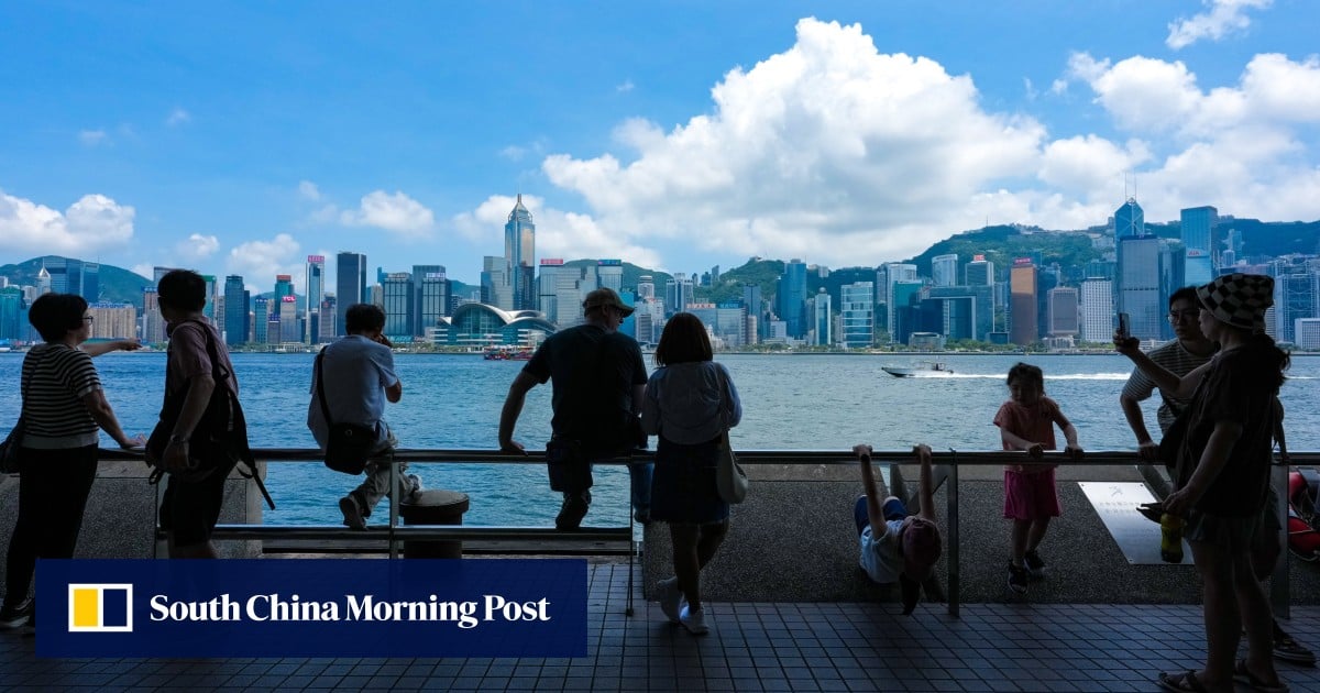
Even without a warning signal, the city is not in the clear. The Observatory warned that extremely hot weather is expected in parts of Hong Kong on Thursday and Friday, and those high temperatures are likely to trigger showers.
The story is therefore less about a direct cyclone hit and more about a mix of oppressive heat, unstable weather, and the possibility of localized rain. In practice, that can still affect outdoor plans, commuting, and general comfort across the city.
Bottom line
The system appears to be a near-miss rather than a direct threat, but the surrounding weather will still be unpleasant. Hong Kong’s forecast remains shaped by a tropical system nearby even as the likelihood of a formal typhoon warning stays low.
Key points
- The Hong Kong Observatory says a tropical depression has formed in the South China Sea near Taiwan.
- The system is expected to stay about 500km or more from Hong Kong.
- Forecasters say the chance of a typhoon warning signal is rather low unless the storm strengthens or moves closer.
- Extremely hot weather is expected in parts of Hong Kong on Thursday and Friday.
- High temperatures are likely to trigger showers in the city.
If the tropical depression stays on its current path, Hong Kong avoids the disruption that often comes with a typhoon warning signal. Residents still get a heads-up to plan for heat and showers rather than a stronger storm.
If the system strengthens more than expected or moves closer to the Pearl River Estuary, conditions could worsen quickly. Even without a warning signal, extreme heat and showers can still create uncomfortable and disruptive weather for the city.