El Niño under way and threatens weather extremes, scientists say
NOAA says El Niño has started in the tropical Pacific and could become a very strong event. Scientists warn it may add to global warming and drive weather extremes, food stress, and economic disruption.
Intelligence analysis by GPT-5.4 Mini
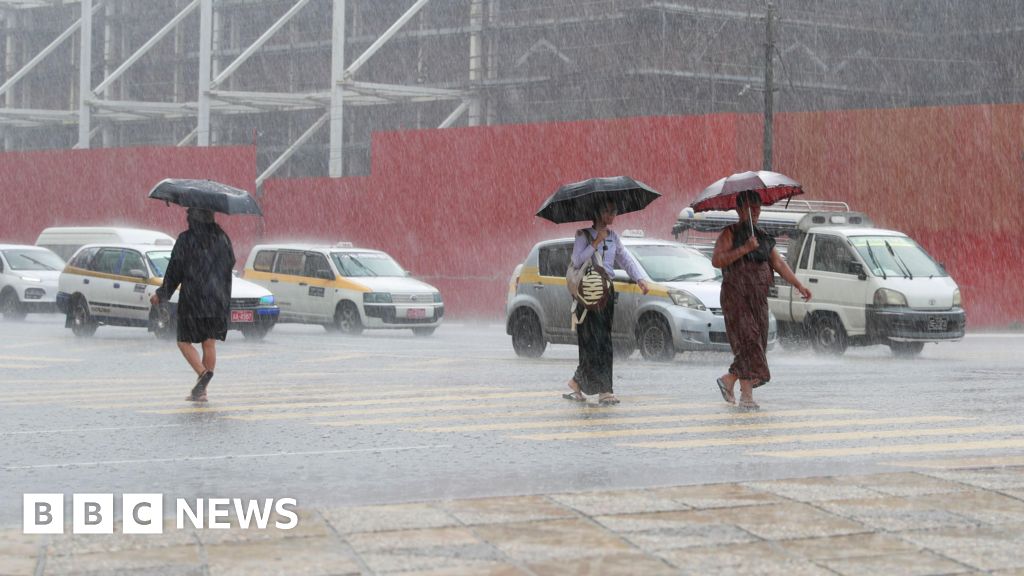
US scientists say El Niño conditions are now established in the tropical Pacific, with forecasts pointing to a possibly very strong event. The concern is not just the weather pattern itself, but the way it could amplify already record-high global temperatures and disrupt rainfall, farming, and storm patterns.
El Niño is like a big warm patch in the Pacific Ocean that can shuffle weather around the world. Scientists say it has started again, and because Earth is already warmer than before, it could make some places wetter, others drier, and push temperatures even higher.
Analysis
What NOAA says
The article reports that the US National Oceanic and Atmospheric Administration has declared El Niño conditions to be underway in the tropical Pacific. The key signal is that sea surface temperatures have climbed above the threshold scientists use to define the event, and the atmosphere is starting to respond as well.
Why forecasters are concerned
What stands out is not just the start of El Niño, but the confidence in some models that it could become unusually strong. NOAA’s outlook cited a substantial chance of a very strong event in the November-January period, and some European and US models go even further, suggesting the tropical Pacific could warm far above average by the end of the year.
The bigger risk: a hotter baseline
Scientists quoted in the piece stress that this El Niño is arriving on top of long-term human-caused warming. That matters because El Niño typically nudges global air temperatures upward by releasing heat from the ocean, so the same event can have a bigger effect when the planet is already much warmer. The article notes that 2024 was the warmest year on record, and 2025 was still one of the warmest despite La Niña cooling.
Where the impacts could show up
The story points to a familiar El Niño pattern of flooding in places such as northern Peru and southern Ecuador, alongside drought and wildfire risks in Australia, Indonesia, and parts of South America. It can also weaken Atlantic hurricane activity, even while increasing drought risk in parts of Central America. That combination is why the article ties the event to food supplies, economies, and weather extremes rather than treating it as a narrow ocean phenomenon.
Key points
- NOAA says El Niño conditions are now underway in the tropical Pacific.
- Some forecasts suggest it could become a very strong or even super El Niño.
- Scientists warn it is arriving on top of an already much warmer planet.
- The article links El Niño to flooding, drought, wildfire risk, and weaker Atlantic hurricanes.
- The possible knock-on effects include pressure on food supplies and economies.
If the forecasts are right and the event is tracked early, governments and farmers may have more time to prepare for floods, drought, and crop stress. Better warnings could also help emergency services and planners reduce some of the damage.
If the El Niño becomes very strong, it could amplify heat and worsen weather extremes across vulnerable regions. The article also warns that agriculture, food stocks, and economies could feel the effects well into 2027.